Biography
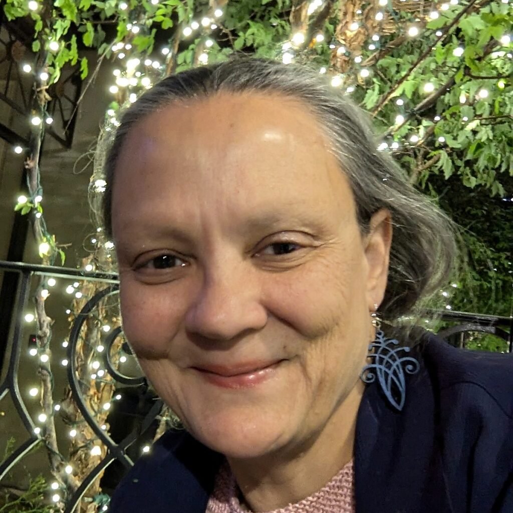
Karen Pinto is Historian of Islamic Cartography at University of Colorado Boulder. She has spent three decades examining maps in manuscript collections around the world. She has a 2000-strong image repository of Islamic maps—many that have never been published before. Her book Medieval Islamic Maps: An Exploration was published in November 2016 by University of Chicago Press and won a 2017 OAT (Outstanding Academic Title) award from Choice. Their interests include science, knowledge, and technology transfer, cultural heritage and material culture, religious and intellectual history, memory, myth, and public history, medieval islamic maps. Within PUC, their profile connects to vr/xr, mapping, manuscripts, archives, public history, pedagogy.
Thematic Interests
- Science, Knowledge, and Technology TransferCirculation of scientific ideas, medical knowledge, and technological innovations across cultures.
- Cultural Heritage and Material CultureStudy of historical artifacts, architecture, manuscripts, and preservation practices.
- Religious and Intellectual HistoryDevelopment of religious thought, philosophy, and theological debates., Memory, Myth, and Public History – How history is remembered, represented, and contested in public discourse and media., Medieval Islamic Maps